Log in
All resources
Create a design
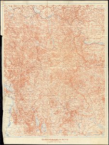
1,095,938 Free Images of Maps Of Carniola
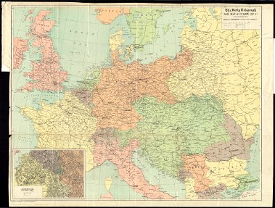
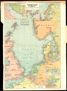
maps of world war i by the daily telegraph
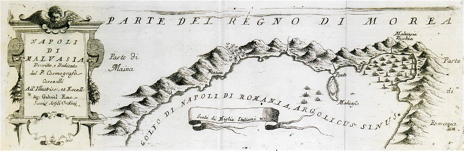
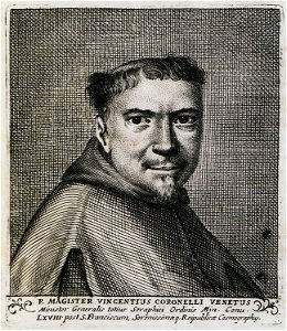
geographical illustrations by coronelli
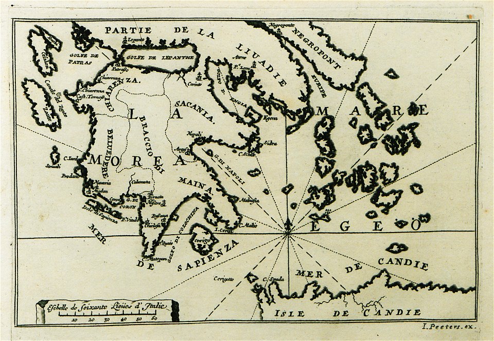
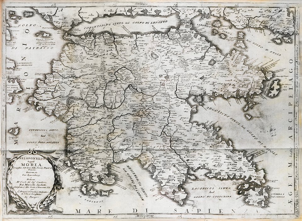
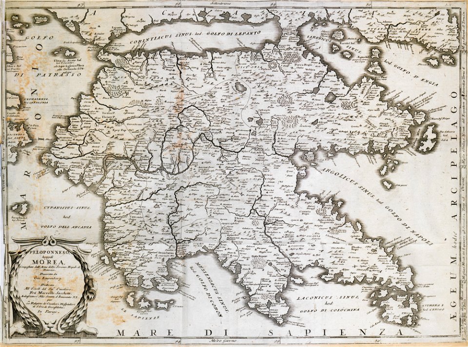
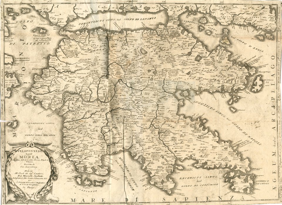
old maps of the peloponnese
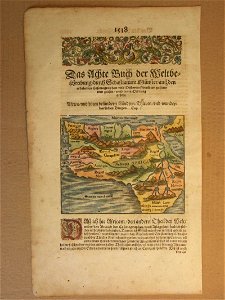
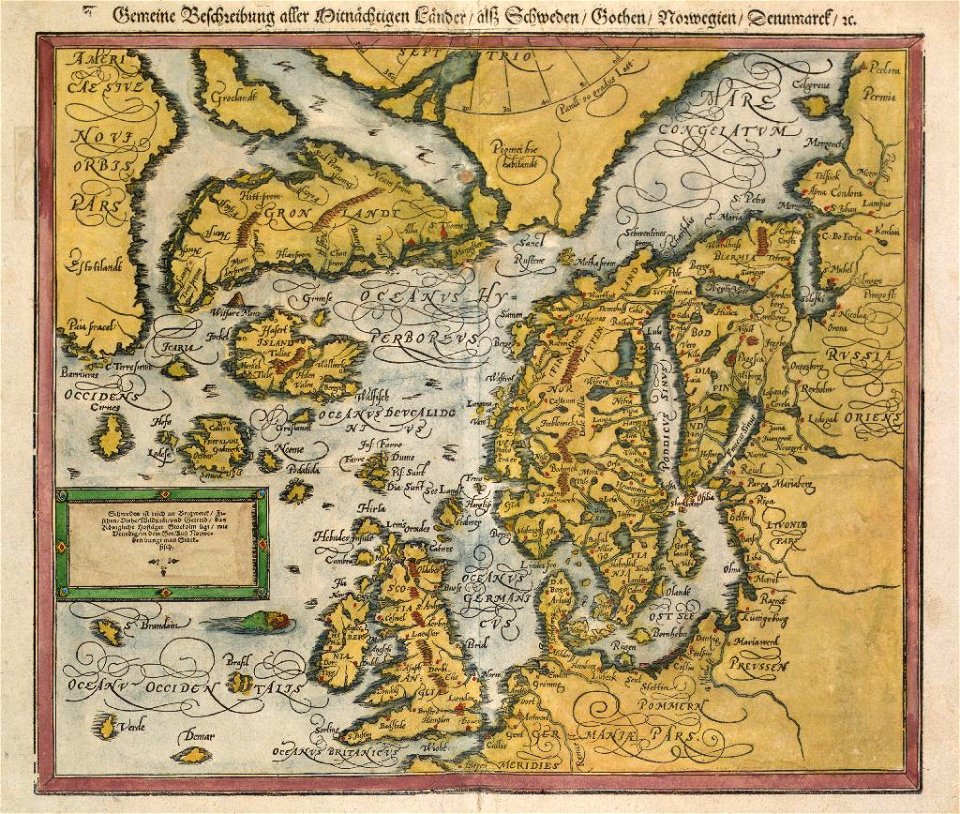
cosmographia (1600) by sebastian münster
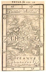
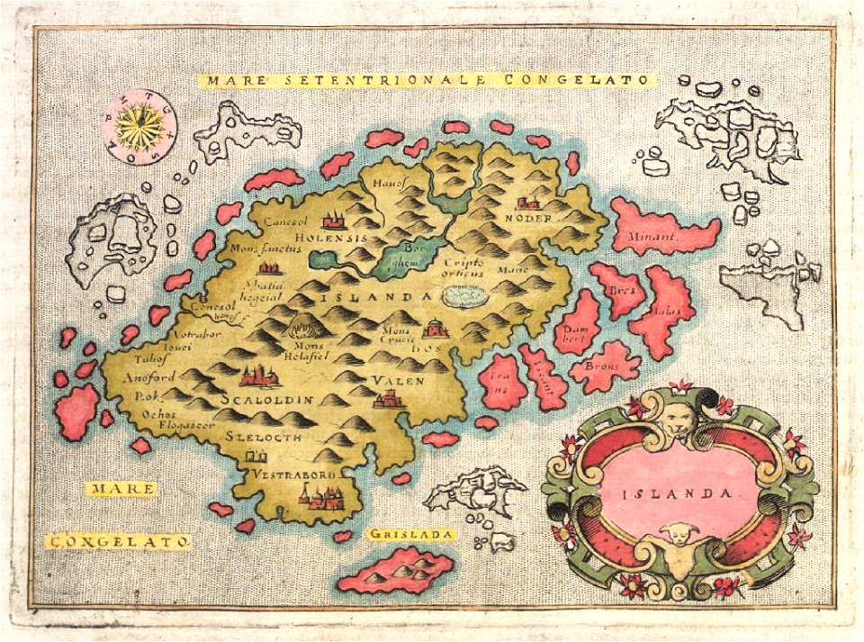
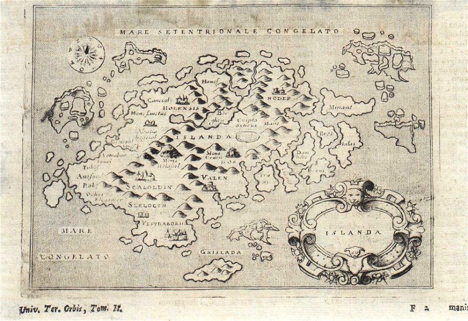
provided by landsbókasafn íslands
latin-language maps
cosmographia claudii ptolomaei alexandrini
1467 maps
liber insularum archipelagi (royal museums greenwich)
16th-century maps of iceland
cosmographia (1600) by sebastian münster
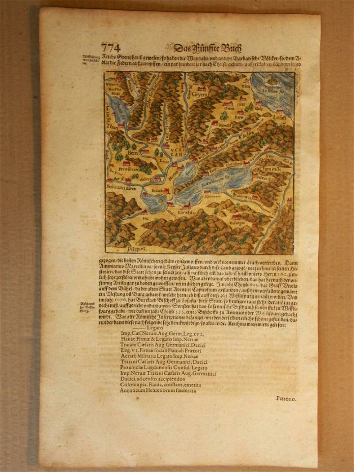
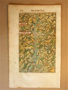
old maps of switzerland
cosmographia (1600) by sebastian münster
1600 maps of transylvania
cosmographia (1600) by sebastian münster
old maps of switzerland
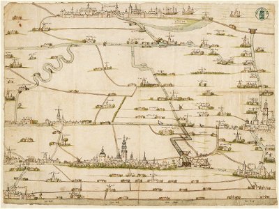
drawings in the stadsarchief amsterdam
old maps of amsterdam
description des principales villes (1690)
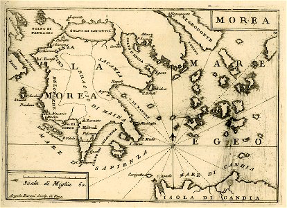
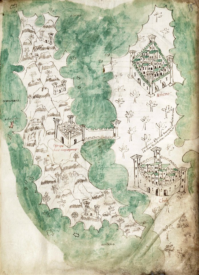
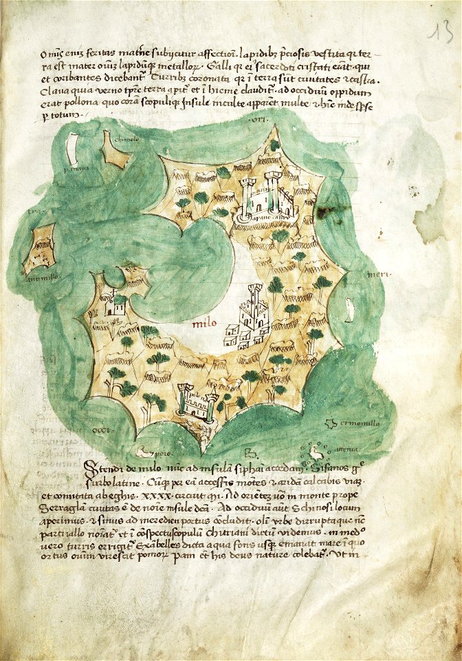
old maps of greece
geographical illustrations by coronelli
old maps of the peloponnese
cosmographia (1600) by sebastian münster
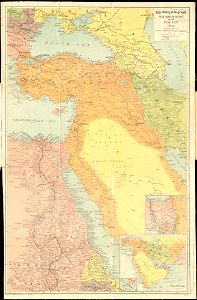
1600s maps of africa
cosmographia (1600) by sebastian münster
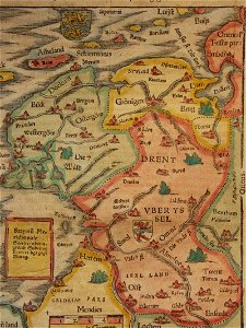
old maps of friesland
landtcarte von dem fürstenthumbe stormarn
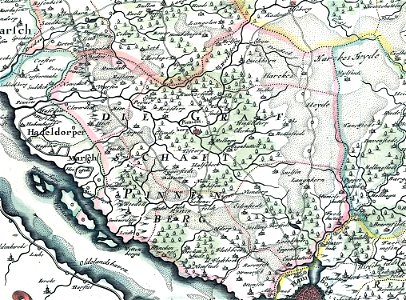
maps of kreis pinneberg
liber insularum archipelagi (royal museums greenwich)
maps of euboea
liber insularum archipelagi (royal museums greenwich)
maps of milos
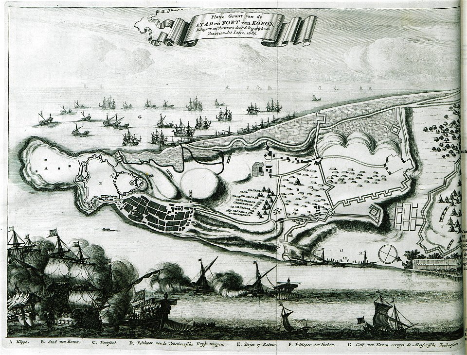
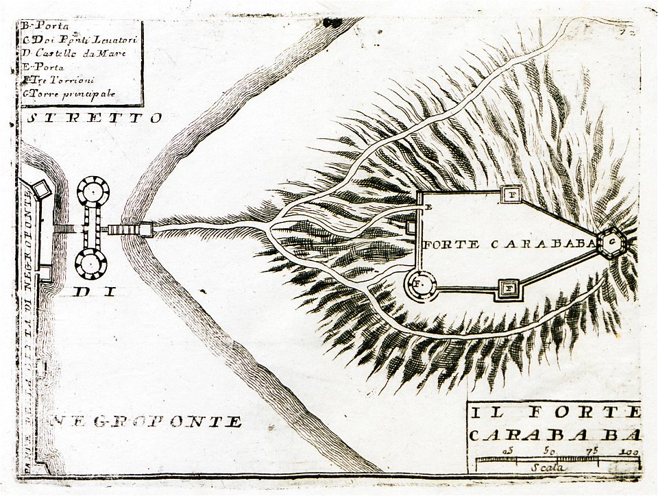
geographical illustrations by coronelli
old maps of the peloponnese
geographical illustrations by coronelli
old maps of the peloponnese
old maps of marseille
french navy bases
maps of paris in the 1730s
plan de turgot
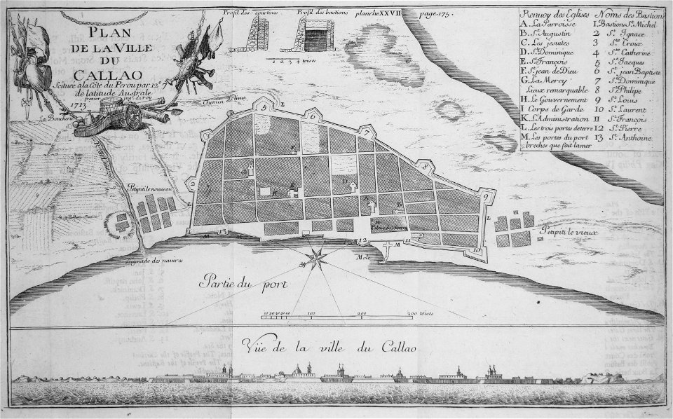
historical images of el callao
frézier's travel
old maps of greece
olfert dapper
the illustrated london news 1857
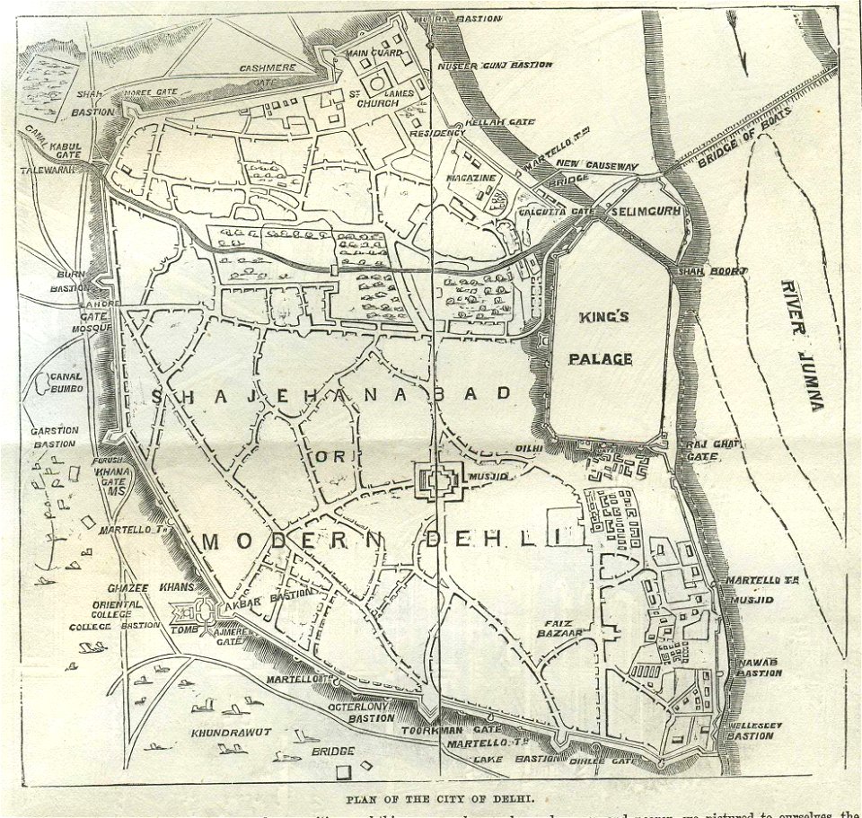
old maps of delhi
travels in sicily greece and albania
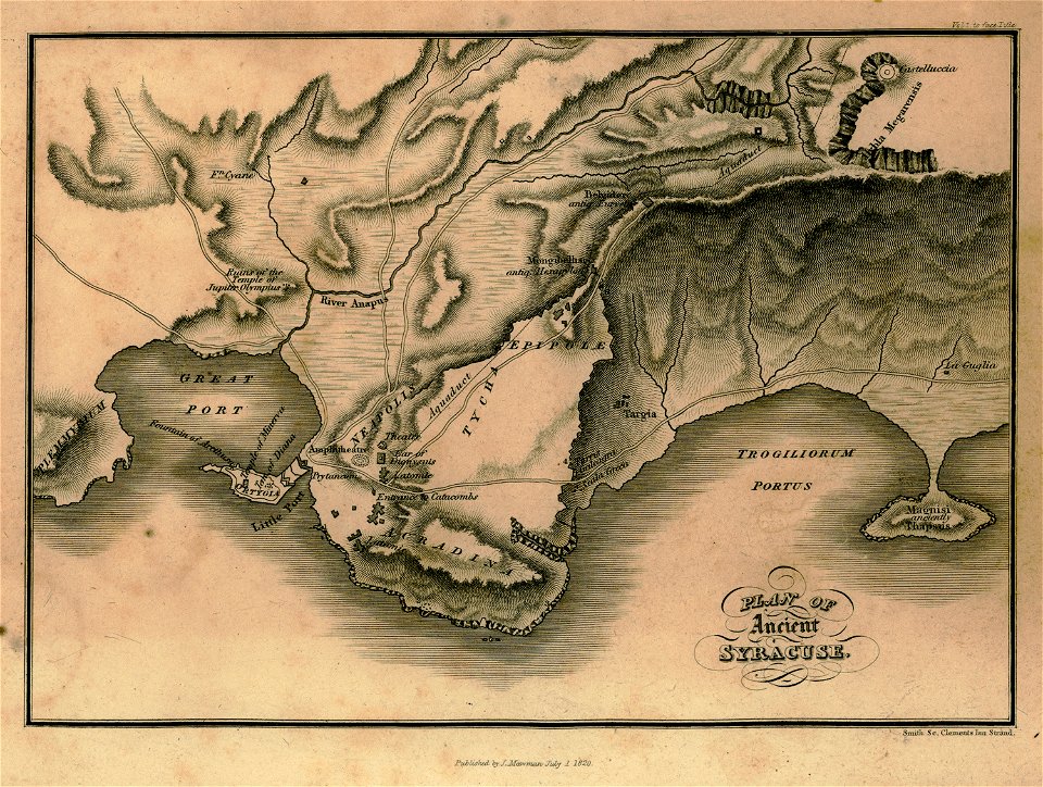
maps of syrakousai
description des principales villes (1690)
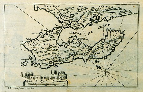
old maps of corfu
provided by landsbókasafn íslands
16th-century maps of iceland
provided by landsbókasafn íslands
16th-century maps of iceland
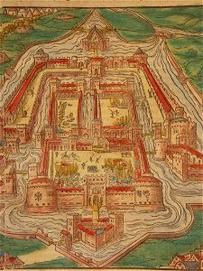
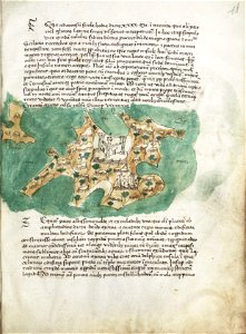
illuminated manuscripts in istanbul university
old maps of istanbul
illuminated manuscripts in istanbul university
old maps of istanbul
1660s maps of baden-württemberg
ittendorf
geographical illustrations by coronelli
old maps of the peloponnese
geographical illustrations by coronelli
old maps of the peloponnese
johann christoph müller
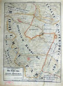
maps of rumburk
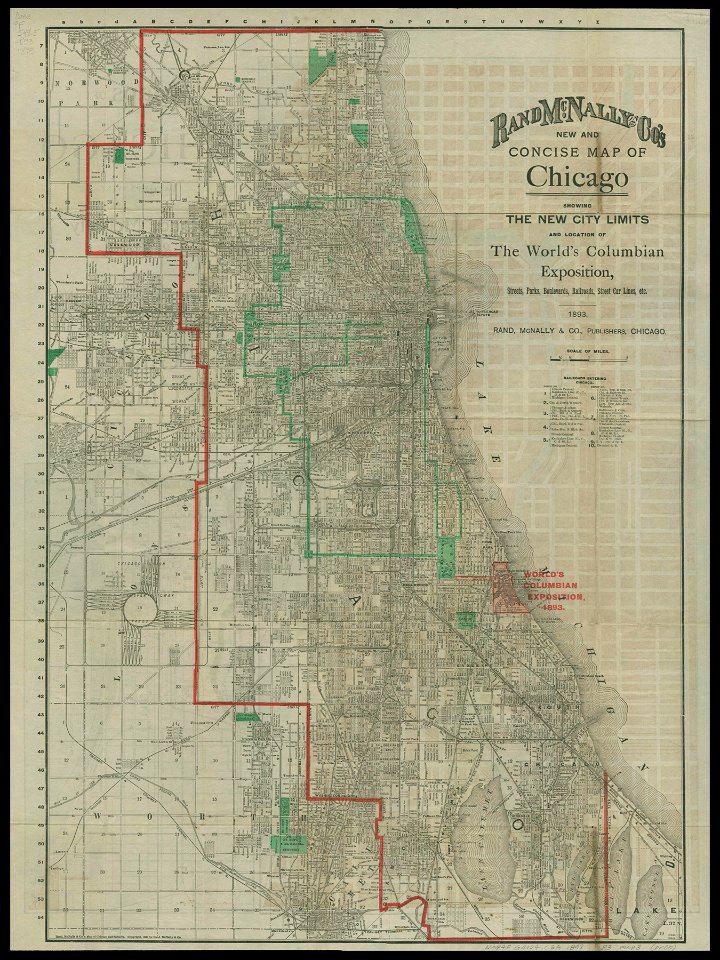
chicago and the midwest
newberry library
johann christoph brotze
old maps of riga
johann christoph müller
maps of rumburk
cosmographia (1600) by sebastian münster
old maps of milan
geographical illustrations by coronelli
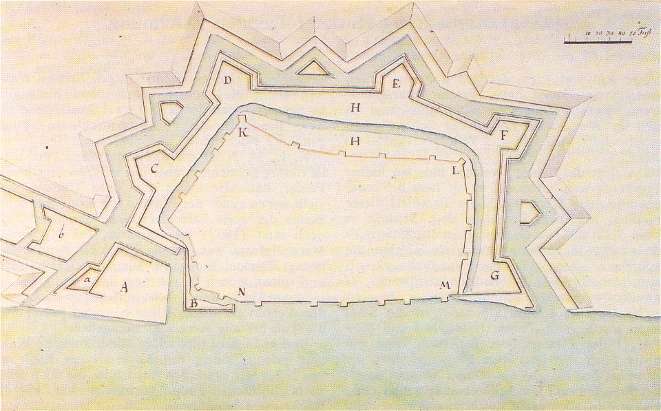
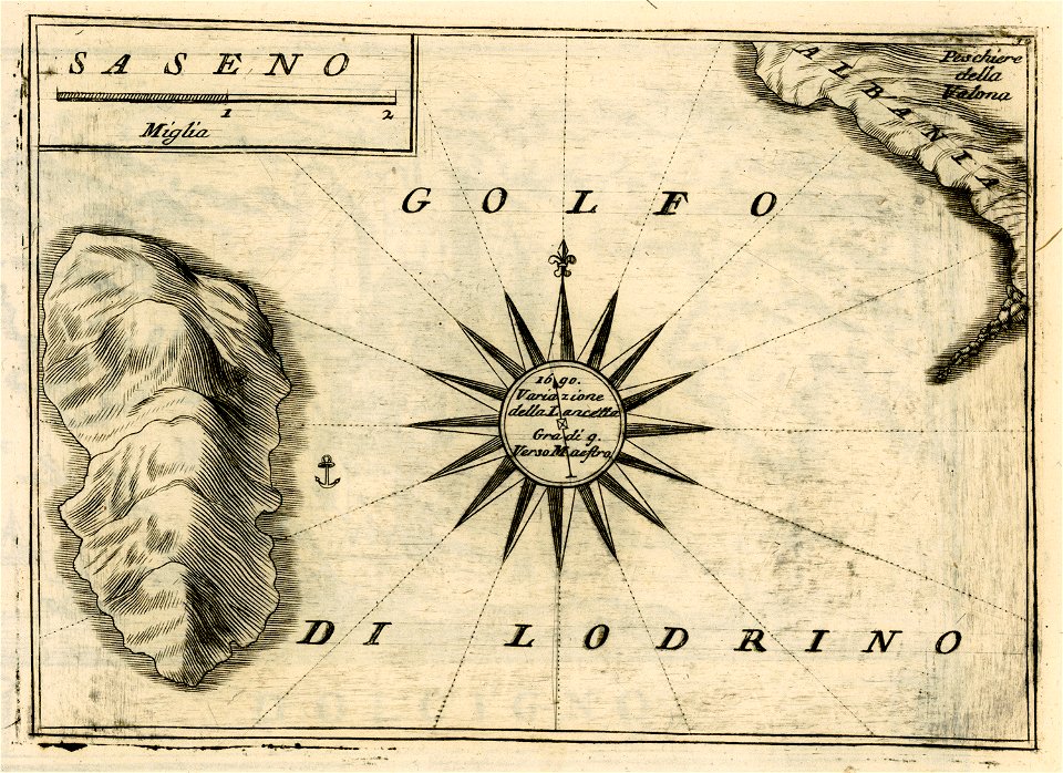
sazan
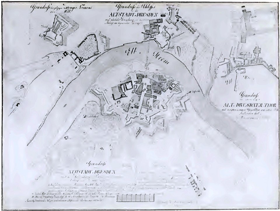
dresden (schumann)
innere neustadt
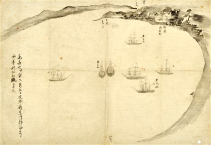
old maps of japan
perry expedition
liber insularum archipelagi (royal museums greenwich)
maps of kalymnos
maps of lars kietzlingh
källtorpssjön
walter kaudern expedition to celebes
maps of central sulawesi
awa province (tokushima)
keichō kuniezu
geographical illustrations by coronelli
old maps of the peloponnese
old maps of bruges
covens en mortier
geographical illustrations by coronelli
old maps of the peloponnese
geographical illustrations by coronelli
old maps of the peloponnese
geographical illustrations by coronelli
old maps of the peloponnese
geographical illustrations by coronelli
old maps of the peloponnese
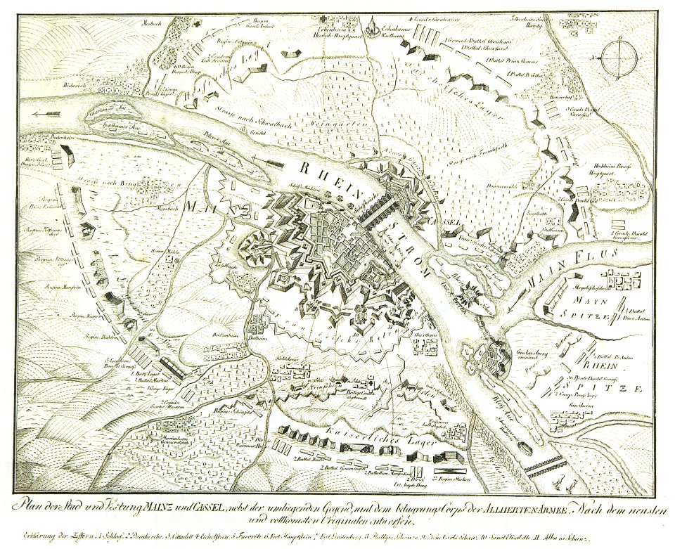
mainz in the 18th century
historical maps of mainz
geographical illustrations by coronelli
old maps of the peloponnese
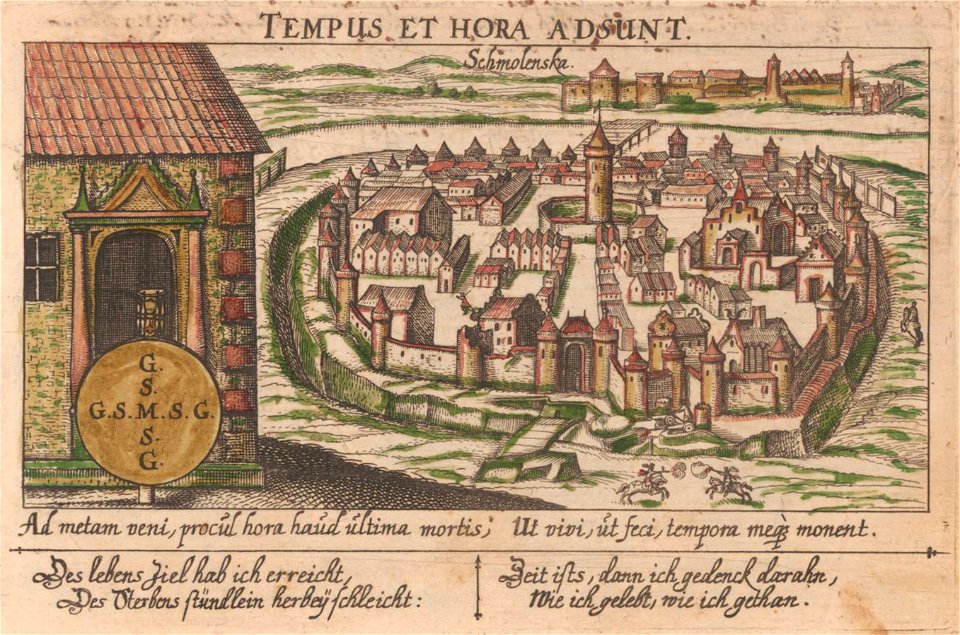
art works by daniel meisner
old maps of smolensk
provided by landsbókasafn íslands
19th-century maps of iceland
provided by landsbókasafn íslands
16th-century maps of iceland
provided by landsbókasafn íslands
16th-century maps of iceland
provided by landsbókasafn íslands
18th-century maps of iceland
provided by landsbókasafn íslands
18th-century maps of iceland
maps in art
disorder
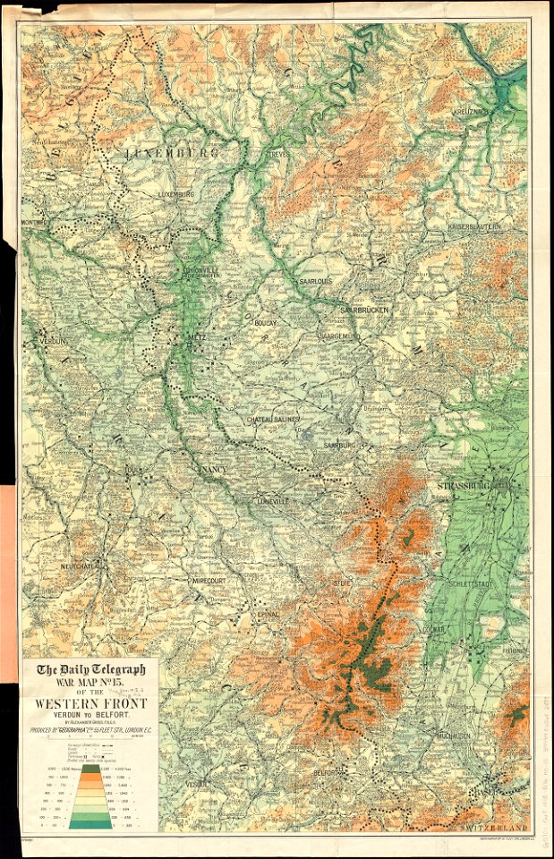
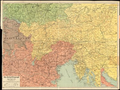
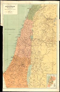
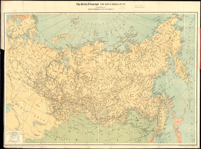
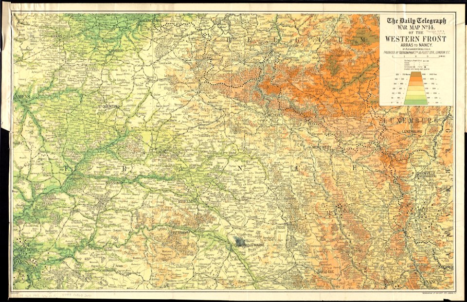
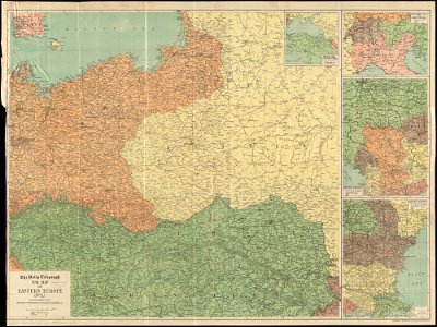
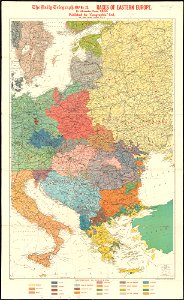
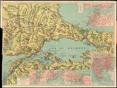
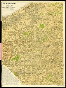
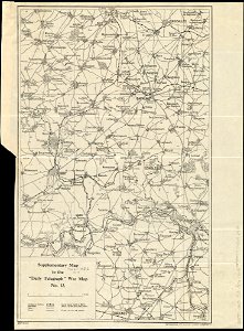
maps of world war i by the daily telegraph
maps of world war i by the daily telegraph
maps of world war i by the daily telegraph
maps of world war i by the daily telegraph
maps of world war i by the daily telegraph
maps of world war i by the daily telegraph
maps of world war i by the daily telegraph
maps of world war i by the daily telegraph
maps of world war i by the daily telegraph
maps of world war i by the daily telegraph
maps of world war i by the daily telegraph
maps of world war i by the daily telegraph
maps of world war i by the daily telegraph
maps of world war i by the daily telegraph
maps of world war i by the daily telegraph
maps of world war i by the daily telegraph
maps of world war i by the daily telegraph
maps of world war i by the daily telegraph
maps of world war i by the daily telegraph
maps of world war i by the daily telegraph
maps of world war i by the daily telegraph
maps of world war i by the daily telegraph
maps of world war i by the daily telegraph
maps of world war i by the daily telegraph
maps of world war i by the daily telegraph
liber insularum archipelagi (royal museums greenwich)
maps of syros
theatrum urbium (1610)
old maps of rouen
geographical illustrations by coronelli
old maps of the peloponnese
geographical illustrations by coronelli
old maps of the peloponnese
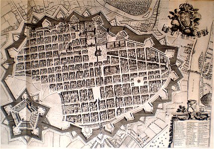
old maps of turin
1674 engravings
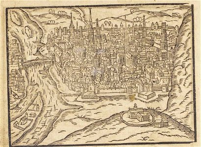
cosmographia (1600) by sebastian münster
old maps of moscow
old maps of lower saxony
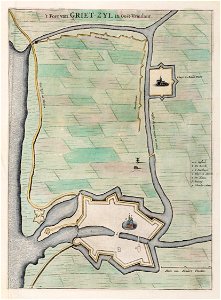
greetsiel
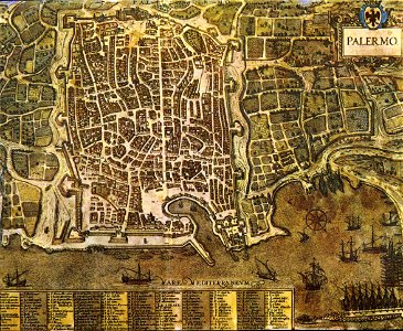
palermo
1581
maps from the mechanical curator collection available to georeference
maps from the mechanical curator collection
maps from the mechanical curator collection available to georeference
maps from the mechanical curator collection
philip ii in armour (titian - museo del prado)
venetian school,high renaissance
paintings of the battle of the plains of abraham
hervey smyth
historical flags of denmark
historical flags of norway
male portrait paintings by jean-baptiste santerre
classicism
latin-language maps
1630 maps
maps by willem and johannes blaeu
1635 maps
ptolemy's 4th european map
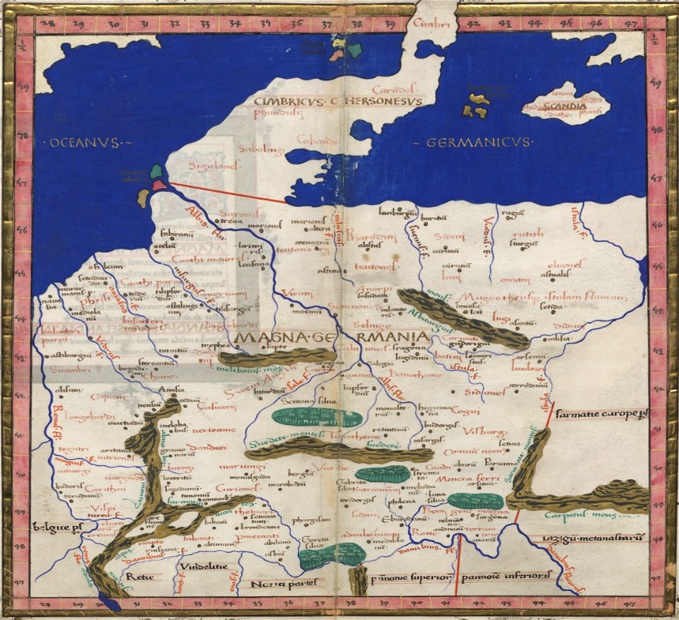
latin-language maps
cosmographia claudii ptolomaei alexandrini
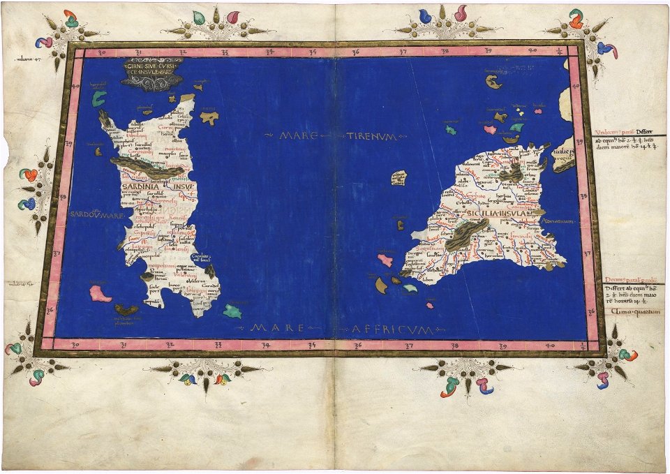
latin-language maps
cosmographia claudii ptolomaei alexandrini
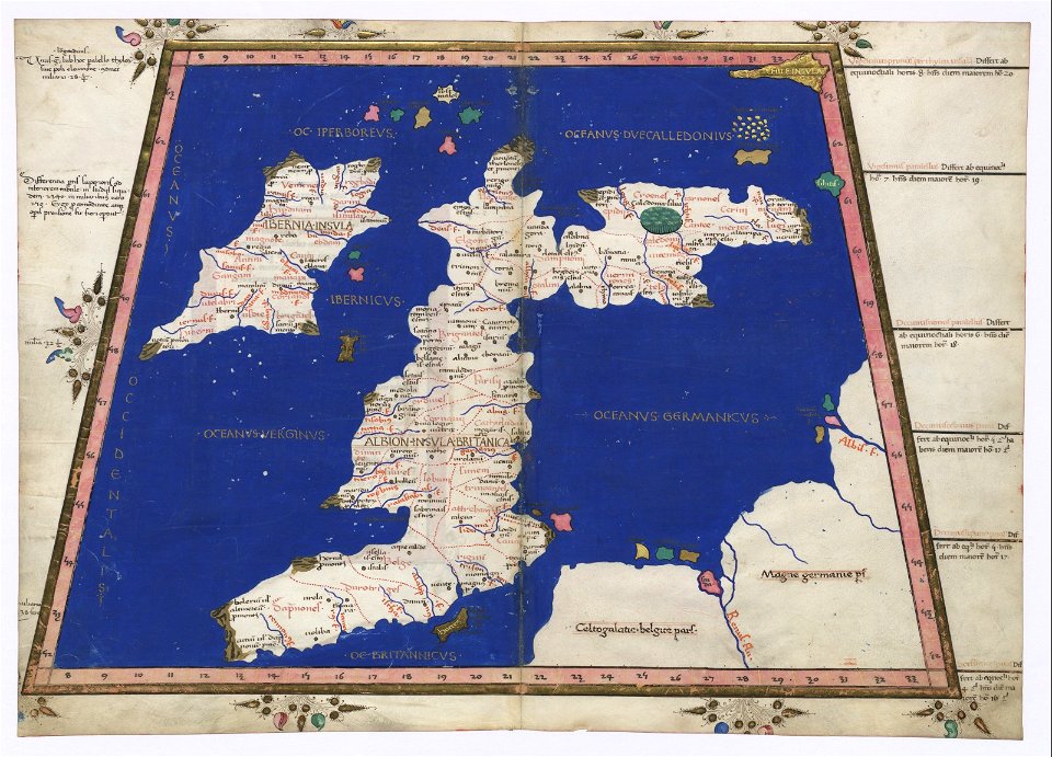
latin-language maps
cosmographia claudii ptolomaei alexandrini
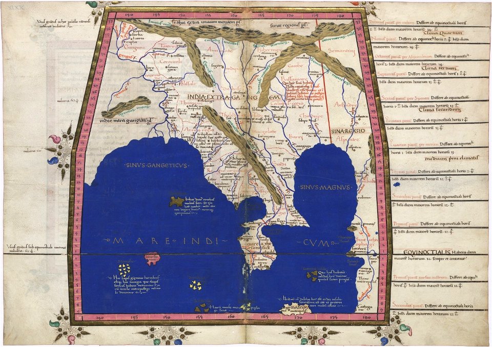
latin-language maps
cosmographia claudii ptolomaei alexandrini
latin-language maps
6601 - 6700 of 1,095,938
Next page
/ 10960